
Plymouth Neighbors by Block Source
For a Plymouth block, parcel sources answer different parts of the question. Town GIS offers graphical context. Patriot Properties supplies an assessment owner and property fields. Registry plans can explain lots, easements, or a subdivision. Historic maps and local-history records add a dated view. The source most useful for Plymouth neighbors depends on whether the need is a current parcel reference, a boundary question, or historical context.
| Source | What it shows about a block | Access |
|---|---|---|
| Plymouth Town GIS / ToPGIS | Plymouth parcel polygons, IDs, addresses, roads, aerials, and nearby parcels | Plymouth interactive viewer; graphic-only mapping warning applies. |
| Plymouth assessor map PDFs | Plymouth map-block-lot layout and numbered parcel sheets | Plymouth Town cover sheet, index, key, and parcel-map PDFs. |
| Plymouth Patriot Properties | Plymouth owner of record, situs, mailing field, value, use, sale, and legal reference | Search Plymouth records by parcel, owner, street name, or street number. |
| Plymouth Registry plans | Plymouth lots, dimensions, easements, and plan references | Plymouth TitleView Plans route or certified-copy process. |
| Plymouth Sanborn and local history | Dated Plymouth footprints, uses, house clues, and street context | Library of Congress, Plymouth Library History Room, and local institutions. |
A Plymouth owner of record and an occupant are different relationships. A Plymouth map or card can also represent a road, water, open space, a municipal parcel, a condominium interest, or a multi-unit structure. For that reason, a Plymouth block list should be parcel-centric and should record the source date.
Map Plymouth Neighbors Through Parcels
The Town’s parcel viewer is the starting point for the immediate area around a known address. Plymouth’s own GIS warning is important: parcel lines are graphical, layers can have different dates or accuracy, and placement errors of 50 feet or more are possible. A shared edge on the screen is a lead to check, not a legal boundary finding.
- Find the target Plymouth address in Plymouth Town GIS and save the displayed address, parcel ID, map date if shown, and a context screenshot.
- Zoom to identify each apparent Plymouth shared-boundary parcel. Note whether a road, water body, open space, or municipal strip separates it.
- Run every selected Plymouth parcel ID through Patriot Properties. Preserve Plymouth property location, owner of record, mailing field, use, sale date, and book/page reference separately.
- Open a Plymouth Registry plan or recorded instrument when a boundary, easement, subdivision, or ownership sequence matters.
- Use dated Plymouth historic sources only after the current parcel link is documented. State the historical relationship narrowly.
The Plymouth street directory follows the full named-street record chain. This block method stays close to adjacent parcels and does not assume that every lot on a street is an immediate neighbor.
Note: Save parcel punctuation exactly as shown, including leading zeros, hyphens, letters, and map-sheet suffixes.
Plymouth Neighbor Maps Need Plan Checks
Plymouth’s GIS viewer links Plymouth parcel, address, aerial, road, water, and open-space context. It is especially useful for sorting an apparent Plymouth neighbor from a rear lot or a parcel across a road. Yet a Plymouth map label can be offset, and a road centerline, waterway, or legal strip can make two parcels look connected when the recorded description says otherwise.
The stronger Plymouth route for a material boundary is a recorded plan, deed description, or survey. The Plymouth Registry’s Plans and Registered Land paths are distinct from a standard recorded-land book/page search. If a Plymouth card points to a certificate of title, use the registered-land menu rather than assuming the recorded-land result covers it.
- Parcel ID
- The local map-block-lot or parcel key used to connect a map position with an assessor record.
- Situs address
- The property location recorded on an assessment card. It is not the same as a mailing address.
- Recorded plan
- A Registry document that can show lots, dimensions, and easements more reliably than a graphic GIS layer.
- Adjacent parcel
- A parcel that appears to share a boundary, subject to plan or deed verification when precision matters.
Plymouth Block Permits and Context
Plymouth’s OpenGov workflow supports building-permit plan submission, review, approval, and inspection. The research did not confirm a public live permit-search field set. The Town’s dated monthly permit reports are the safer record route when a block question needs a published permit reference. The August 2025 report identifies Record Type, Record Location, MBL, Permit or License, Issued Date, Description of Work, Document Title, Estimated Cost, Applicant Name or Phone, Owner Name, and Total Paid.
Use the MBL or parcel key to connect a permit report to the correct lot. An applicant and an owner are separately labeled fields, so neither should be rewritten as a statement about current Plymouth neighbors. Record the month of the report and the exact source field.
The Town’s OpenGov permit-services route is shown below. It documents the official workflow, while the dated Town report is the record-specific fallback described in the research.
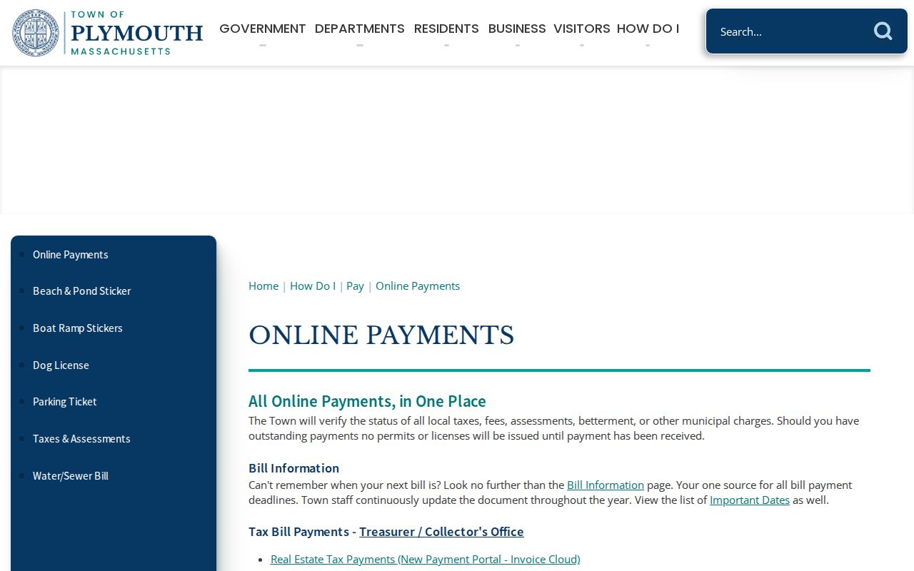
That difference matters: an online workflow is not proof that a broad public block search exists. Date, custodian, and field labels remain part of any reproducible result.
Plymouth Neighbors and Public Voter Lists
Massachusetts law gives local voter lists a street arrangement in towns of at least 5,000, with names in numerical street order under M.G.L. c.51 §55. The available local list can include name, residence, party, date of birth, active or inactive status, and voter ID, while phone, email, confidential-voter records, minors’ information, and other protected fields are excluded. Ask the Plymouth Town Clerk for an available dated municipal list, format, and production cost rather than treating the individual state tool as a block search.
The state individual voter lookup requires first name, last name, date of birth, and five-digit residential ZIP. It is a status check, not a general directory. A new registration can take two to three weeks to appear, and an inactive or deleted designation needs date context before anyone draws a conclusion about a residence.
Plymouth Neighbor Community Context
Research did not locate a current official umbrella directory of Plymouth neighborhood associations. Private rosters should not be used as a resident source. The appropriate public discovery route is the Town’s committee, agenda, and minute material, paired with institutions that identify their own collections and access rules. These sources can add civic or historical context without claiming membership or a current address.
| Public resource | What it can contribute | Access channel |
|---|---|---|
| Town board or committee pages | Official name, geographic remit, meeting date, and public contact when published | Town of Plymouth source hub |
| Plymouth Public Library | Street index, history-room material, maps, newspapers, yearbooks, and historic-house binders | History Room appointment and reference contact |
| Plymouth Antiquarian Society | Family papers, journals, photographs, and historic-house context | Appointment-based collections |
| Pilgrim Hall Museum Library | Historical books, manuscripts, photographs, and documents | Appointment access; it is not a genealogy collection. |
Manomet, North Plymouth, White Horse Beach, Center, and Town Square are useful local labels in postal, map, library, and newspaper sources. They do not replace the Town of Plymouth jurisdiction or prove that an organization represents every household in an area.
Plymouth Neighbor Records Compared
Official records carry their own scope and dates. A commercial neighbor-search category can surface stale or merged information, so it is not a source to override a Town assessor card, Registry image, or official privacy protection. Compare the kind of relationship each source documents before using it.
| Official route | Commercial category | Practical difference |
|---|---|---|
| GIS, assessor, Registry, Town Clerk, and library sources | Commercial neighbor-search products | Official sources identify their custodian, field meaning, and access limits; commercial results may merge dates or source types. |
| Recorded plan or survey for a boundary | Map-style proximity result | A plan or survey is the stronger legal reference; a visual proximity result is a discovery aid. |
| Dated directory or historic map | Undated address compilation | The dated source can support a limited historical statement, not a current-presence claim. |
Plymouth Neighbor Privacy Limits
Massachusetts Address Confidentiality Program participants can use a substitute address, and confidential voter registration can withhold a name or residential address from ordinary Plymouth public lists. Plymouth court, vital-record, and public-record exemptions can also restrict or redact information. An absent, redacted, or substituted Plymouth result should end the linkage. It is not a reason to look for another copy of a protected address.
Keep the output narrow: parcel ID, source date, record type, and the exact relationship shown. Do not publish dates of birth, voter IDs, phone numbers, email, signatures, protected addresses, or unnecessary court or family details.
Note: A published public record may still be incomplete, outdated, redacted, or protected by a source-specific rule.