
Plymouth ZIP Code Directory Coverage
Five postal locality labels are confirmed for the Plymouth area. They are practical starting points for an address check, yet the research does not establish a street-by-street delivery boundary for any one of them. A postal locality can name a part of Plymouth without being a separate town. Use the returned address, not a broad ZIP label, when matching a record to the Town of Plymouth.
| ZIP code | Postal locality | Post office evidence | Record-use note |
|---|---|---|---|
| 02360 | Plymouth | Plymouth Post Office, 100 Long Pond Road | Main Plymouth label; verify a particular Plymouth street with USPS. |
| 02361 | Center | Center facility, 6 Main Street Ext | Exact Plymouth-area delivery boundary was not located in the official research. |
| 02362 | North Plymouth | North Plymouth Post Office, 283 Court Street | Plymouth facility and locality label, not a municipal boundary. |
| 02345 | Manomet | Manomet Post Office, 12 Manomet Point Road | Use the current Plymouth address lookup for delivery coverage. |
| 02381 | White Horse Beach | White Horse Beach facility, 119 White Horse Road | Do not infer a Plymouth PO-box or street footprint without a USPS result. |
Plymouth Annex, 74 Camelot Drive, supplies a useful Plymouth 02360-3032 ZIP+4 example. It is a facility ZIP+4, not a definition of the Plymouth Town boundary. The Secretary of the Commonwealth’s Plymouth map shows Plymouth town and precinct geography, while USPS ZIPs route mail. Those two systems answer different questions.
Note: A postal label can narrow an address search, but it cannot prove that a person or organization receives mail there.
Verify a Plymouth ZIP Code With USPS
The USPS ZIP Code Lookup is the first check for one complete address. Its address form supports a company field, street address, optional apartment or suite detail, city, state, and ZIP Code. It also offers City and State and Cities by ZIP Code modes. Include a unit when one exists, because USPS warns that multiple results may need that extra detail.
| USPS mode | Fields captured in research | Best use |
|---|---|---|
| By Address | Company optional, Street Address, Apt/Suite/Other optional, City, State, ZIP Code | Confirm a delivery ZIP and ZIP+4 for one address. |
| By City and State | City, State | Check postal labels associated with a locality. |
| Cities by ZIP Code | ZIP Code | Check which city labels USPS returns for a ZIP. |
The USPS ZIP Code Lookup screen is shown below. Its result helps normalize a Plymouth mailing string before a Plymouth ZIP code directory search continues into a Plymouth parcel or records source.
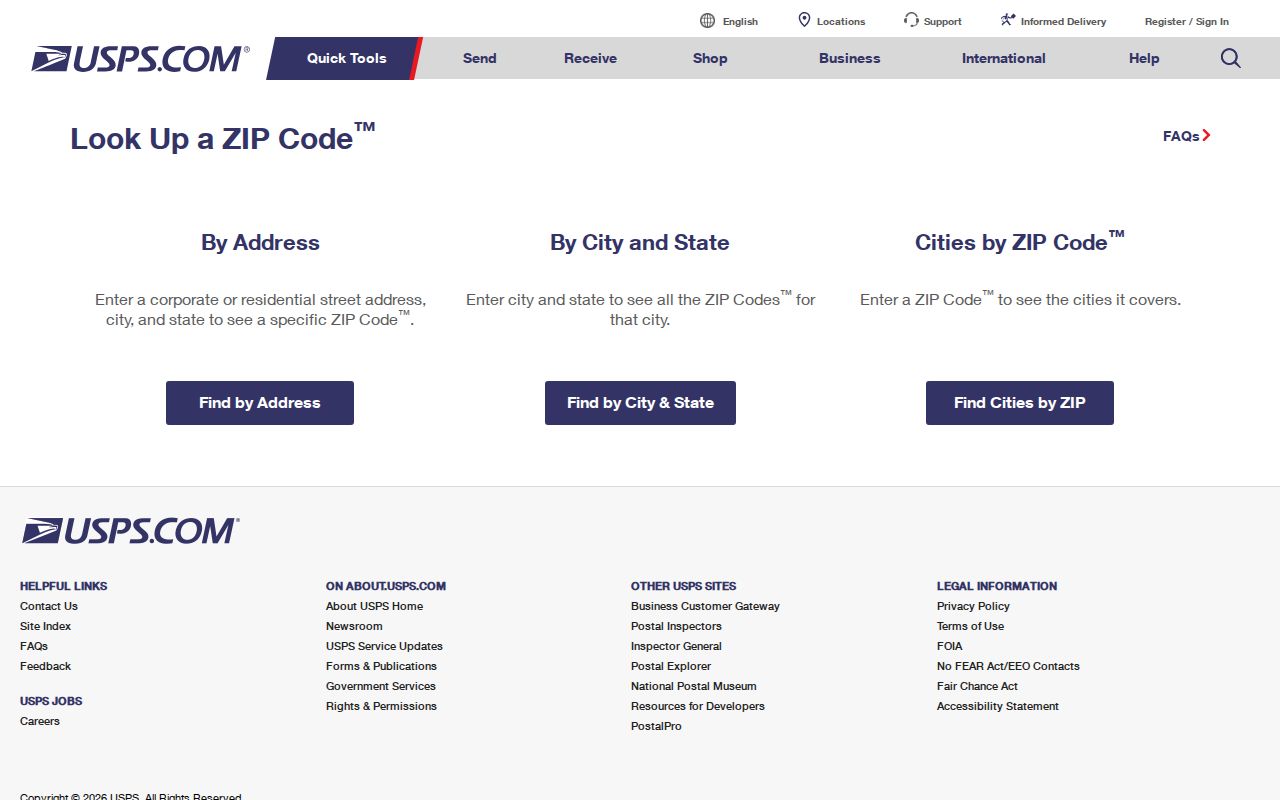
USPS says a returned ZIP does not confirm that a person or company is at a Plymouth address. Treat a Plymouth result as postal evidence only, then retain the query date because USPS address data can change.
Find Records Through a Plymouth ZIP Code
A ZIP is a good organizing clue, not a population list. For a Plymouth address, begin with the delivery result, preserve the ZIP+4 and unit, then compare the local property record. Massachusetts voter status is an individual lookup that requires a name, date of birth, and residential ZIP; it is not a ZIP-wide public directory. A dated municipal list has its own Town Clerk request process and confidentiality rules.
- Run the full Plymouth address through USPS and save the exact returned locality, ZIP, ZIP+4, and any unit detail.
- Search the Plymouth Town assessor by street, parcel, or owner. The captured Patriot Properties form has no direct ZIP search field.
- Compare the Plymouth assessor’s property location and mailing address with the postal response. Keep those fields separate.
- For a structured Plymouth ZIP grouping, use MassGIS parcel attributes, then verify individual Plymouth parcels in local sources.
- Use the Plymouth Town Clerk route for a lawful request for an available dated local voter list, not repeated individual lookup submissions.
Once a ZIP result identifies a street, the Plymouth street directory has the address-by-address record chain. It is the better route for a named street because the local assessor works with street and parcel fields rather than a captured ZIP filter.
Plymouth ZIP Code Parcel Grouping
MassGIS property-tax parcel data includes CITY, ZIP, OWNER1, OWN_ADDR, OWN_CITY, OWN_ZIP, LS_BOOK, LS_PAGE, REG_ID, ZONING, YEAR_BUILT, BLD_AREA, and UNITS. Those fields make it possible to group a release by a ZIP attribute and then cross-check a result with Plymouth’s assessor and Registry records. MassGIS is a structured comparison source, not a live resident search.
The MassGIS parcel-data page is pictured here. Its documented ZIP and registry-reference fields explain why it is useful after USPS validates an address, even though a release can lag the current local assessment file.
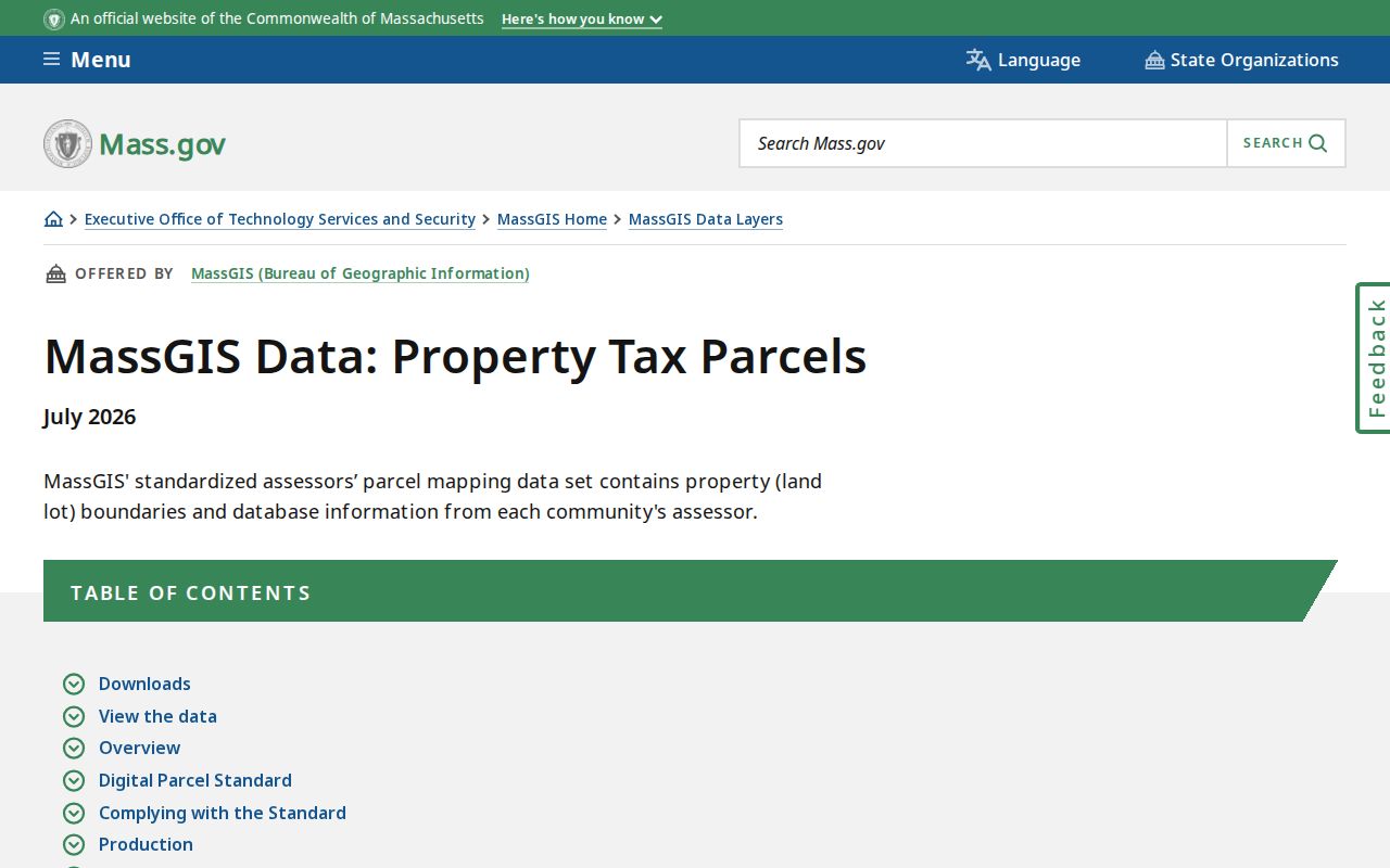
Use ZIP for the Plymouth parcel location field and OWN_ZIP for an owner’s mailing ZIP only as the source labels them. A mailing ZIP can be outside Plymouth, and neither field establishes occupancy.
Plymouth ZIP Code Search Limits
The two principal local parcel routes use ZIP information differently. USPS has an address-oriented ZIP tool, and MassGIS publishes a ZIP attribute in a data release. The Patriot Properties advanced form captured for Plymouth searches Parcel, Owner, Street name, Street num, Building type, year-built, bedroom and bath ranges, lot and finished-size ranges, LUC, NHood, total value, sale price, sale date, Book, and Page. It does not expose a ZIP field in that captured order.
This Plymouth limitation changes the order of research. First validate a delivery address with USPS. Next use MassGIS if a structured ZIP grouping is needed. Then take the resulting street, parcel, owner, or legal-reference clue back to the Town assessor and Registry. A complete set of parcels with a matching postal field is not a roster of people, and a blank or different postal field should be dated and investigated rather than silently changed.
| Source | ZIP capability | Important limit |
|---|---|---|
| USPS | Address, city/state, and cities-by-ZIP modes | Confirms routing information, not a person or Town boundary. |
| MassGIS | ZIP and OWN_ZIP attributes in property-tax parcel data | Release can lag current local information. |
| Plymouth Patriot Properties | ZIP may appear on a resulting card | No direct ZIP filter was captured in the advanced search form. |
Plymouth ZIP Code Locality Names
Center, North Plymouth, Manomet, and White Horse Beach are useful Plymouth-area search terms because they appear in USPS facility or locality material. They can also show up in Plymouth library, map, newspaper, or historic-address records. None should be treated as a separate Plymouth municipal jurisdiction merely because it appears in a delivery label.
That Plymouth distinction is especially useful with older sources. A Plymouth directory, Sanborn map, or assessor map can preserve a locality or spelling that a current postal response presents differently. Match the Plymouth source’s date and keep the raw address alongside the normalized delivery format rather than silently changing one into the other.
Plymouth ZIP Code Boundaries and Town Limits
ZIP code lines are postal-routing tools, not legal city limits. Plymouth has multiple labels, and a ZIP may reach beyond a Town line or carry a neighborhood name. The research did not locate an official street-by-street ZIP boundary map, a verified renumbering crosswalk, or a Plymouth-specific postal realignment notice. That absence is a reason to verify the exact address instead of drawing a boundary from a map label.
- ZIP code
- A postal routing number used to sort delivery mail. It does not define a Town boundary.
- ZIP+4
- The additional four digits that refine delivery routing for a specific address or segment.
- PO-box ZIP
- A ZIP used for post-office-box routing. It does not by itself describe a street delivery area.
- Carrier route
- A postal delivery grouping used within a ZIP. It is not a census tract, precinct, or resident roster.
A useful contradiction log preserves the USPS city and ZIP result, assessor situs and mailing fields, MassGIS CITY and ZIP fields, GIS label, and dates. It can reveal a unit-format issue, postal locality, annex facility, or release lag without claiming that one source has corrected another.
Note: When a record needs a legal Town location, rely on the relevant municipal or recorded source rather than a postal label alone.
Plymouth ZIP Code Changes Need Dates
Older Postal Bulletin material relates some Plymouth labels to 02362, while current USPS location pages still identify Manomet 02345 and White Horse Beach 02381 facilities. The two sources should be read as postal-record history and current facility evidence, not as proof that a current ZIP is invalid. USPS AIS material is updated monthly, so a fresh address-level result is stronger for a present delivery question.
For historical research, pair the date of an old directory, deed, or map with its address spelling, then test the modern parcel and postal response separately. A changed label can be a useful lead, but it does not establish that a household moved or that a past address now has the same service area.